3 miles northwest of town
The Terry Badlands
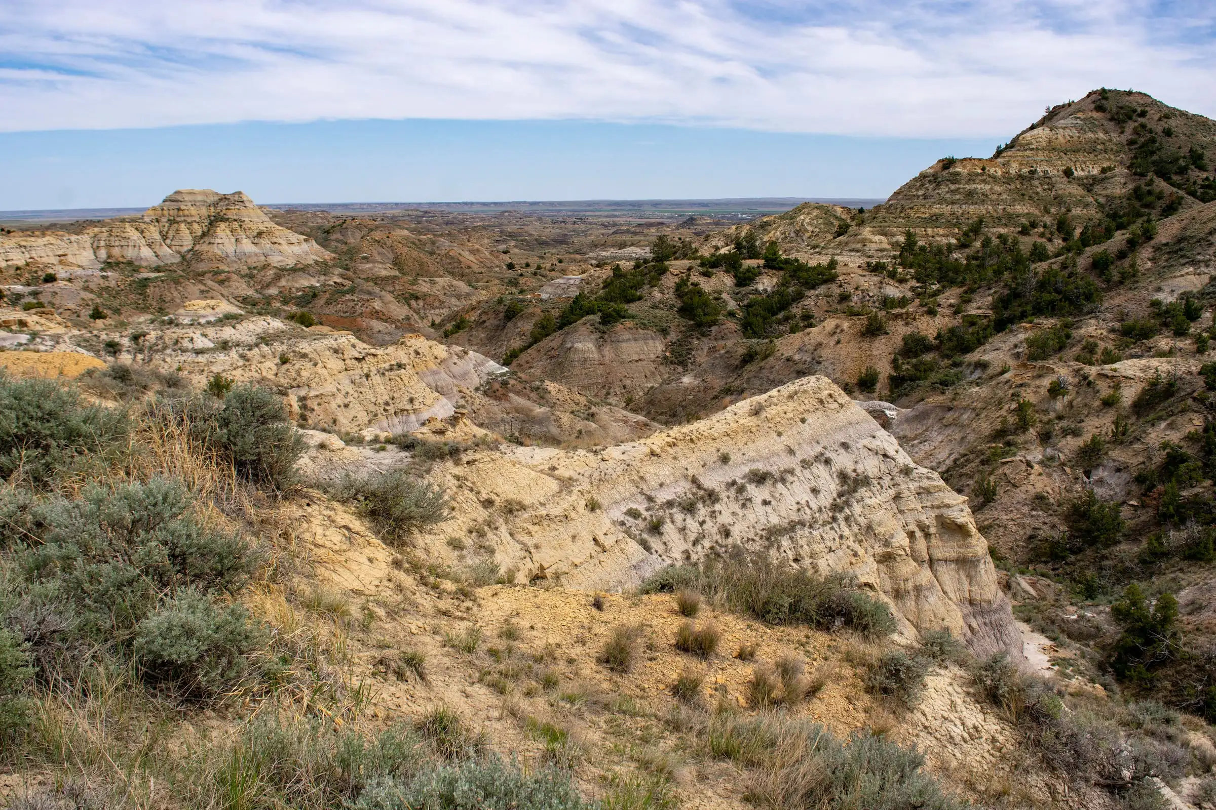
About 43,000 acres of buttes, spires and sandstone bridges just across the Yellowstone. Most people come for the Scenic View, a dirt-road drive from town.
Photo: Bureau of Land Management
What’s out there
Buttes, spires and sandstone bridges, cut by deep gullies
The Terry Badlands Wilderness Study Area is Bureau of Land Management land on the north side of the Yellowstone, a triangle of broken country about ten miles across at its base. Visit Montana puts it at 42,950 acres.
The BLM describes sandstone bridges, spires, table tops and buttes cut by deep gullies. It also has one of the most easterly stands of limber pine, and on Sheridan Butte there’s graffiti carved by U.S. Army troops in the 1800s.
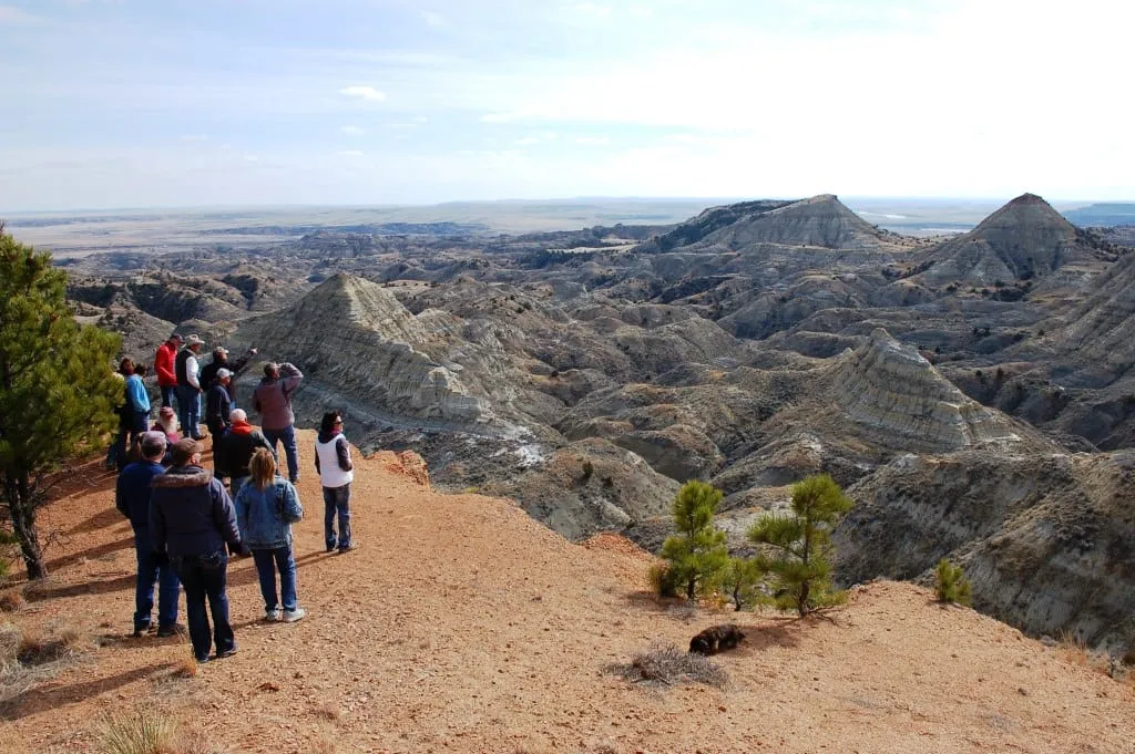
There’s no visitor center, no fee and no water. Most people drive out to the Scenic View, look a long while, and walk a little way along the rim.
The Scenic View
How to drive to the Terry Badlands Scenic View
About nine miles from town and roughly half an hour each way, most of it on dirt. Go when it’s dry: the BLM warns these roads become impassable when wet.
- 1
Take Highway 253 north
From I-94 at Exit 176, follow Highway 253 north across the Yellowstone River, about 2.5 miles.
- 2
Turn left on Scenic View Road
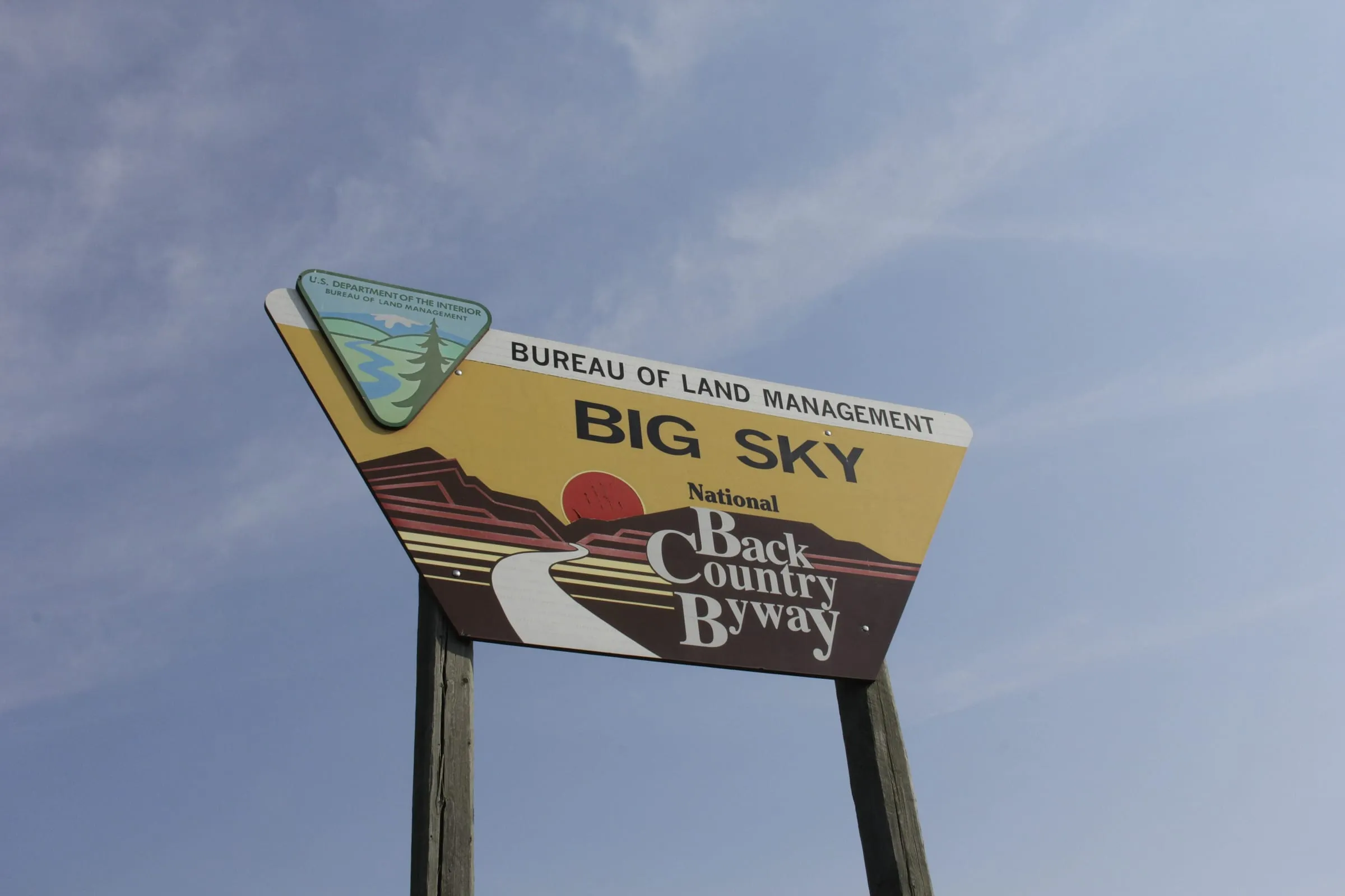
It’s a dirt road, part of the Big Sky Back Country Byway. Look for the BLM sign.
- 3
Drive about 6 miles to the overlook
The Terry Scenic View sits on the edge of the study area. There’s no marked parking, so pull well off the road.
Closed for now · checked October 2026
The Calypso Trail and Natural Bridges
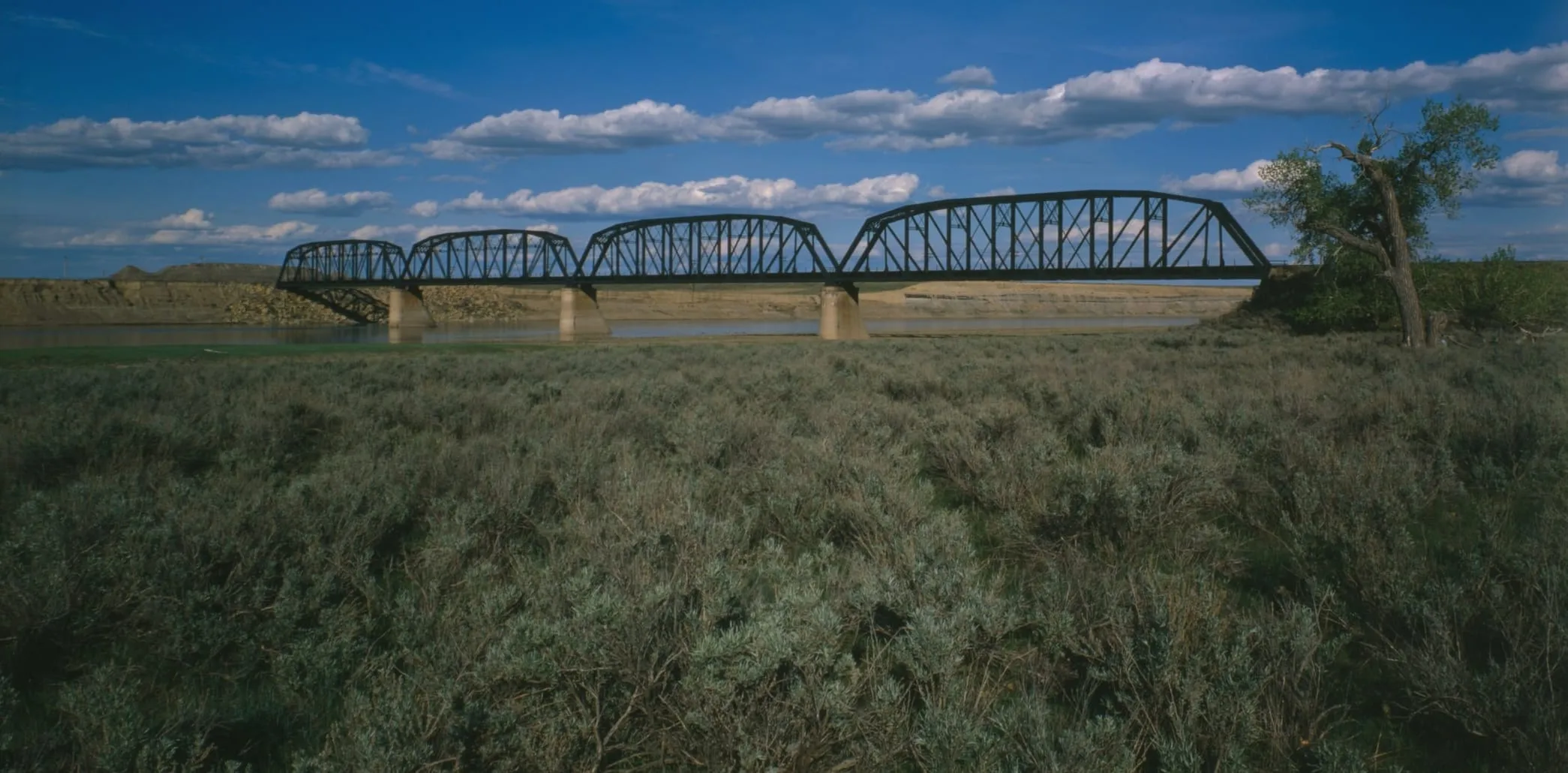
The other way into the badlands crosses the Yellowstone on the old Milwaukee Road railroad bridge, a one-lane truss west of town. From there the Calypso Trail, a 5.5-mile primitive road, leads to the Natural Bridges Trail, an easy-to-moderate hike of a little over a mile to the sandstone bridges.
That bridge is closed. Its deck has deteriorated, and the BLM lists the route as currently not available. A repair, with a new steel deck and rails, went out to bid in the summer of 2026.
Before you go, call the BLM Miles City Field Office at (406) 233-2800. When it reopens, you’ll want a high-clearance or four-wheel-drive vehicle.
BLM: Natural Bridges TrailBefore you go
Good to know
- Bring water. There are no services or water anywhere in the study area.
- Watch the weather. The clay roads turn impassable when wet. Wait a day after rain.
- Stay on the roads. No off-road driving, ATVs or mountain bikes off the routes.
- Camping is primitive. No campgrounds; overnight stays are possible on the benches, limited to 16 days.
- Birding is best May to October: golden eagles, prairie falcons, kestrels, red-tailed hawks and owls.
- Come early or late. The low light brings out the stripes in the rock.
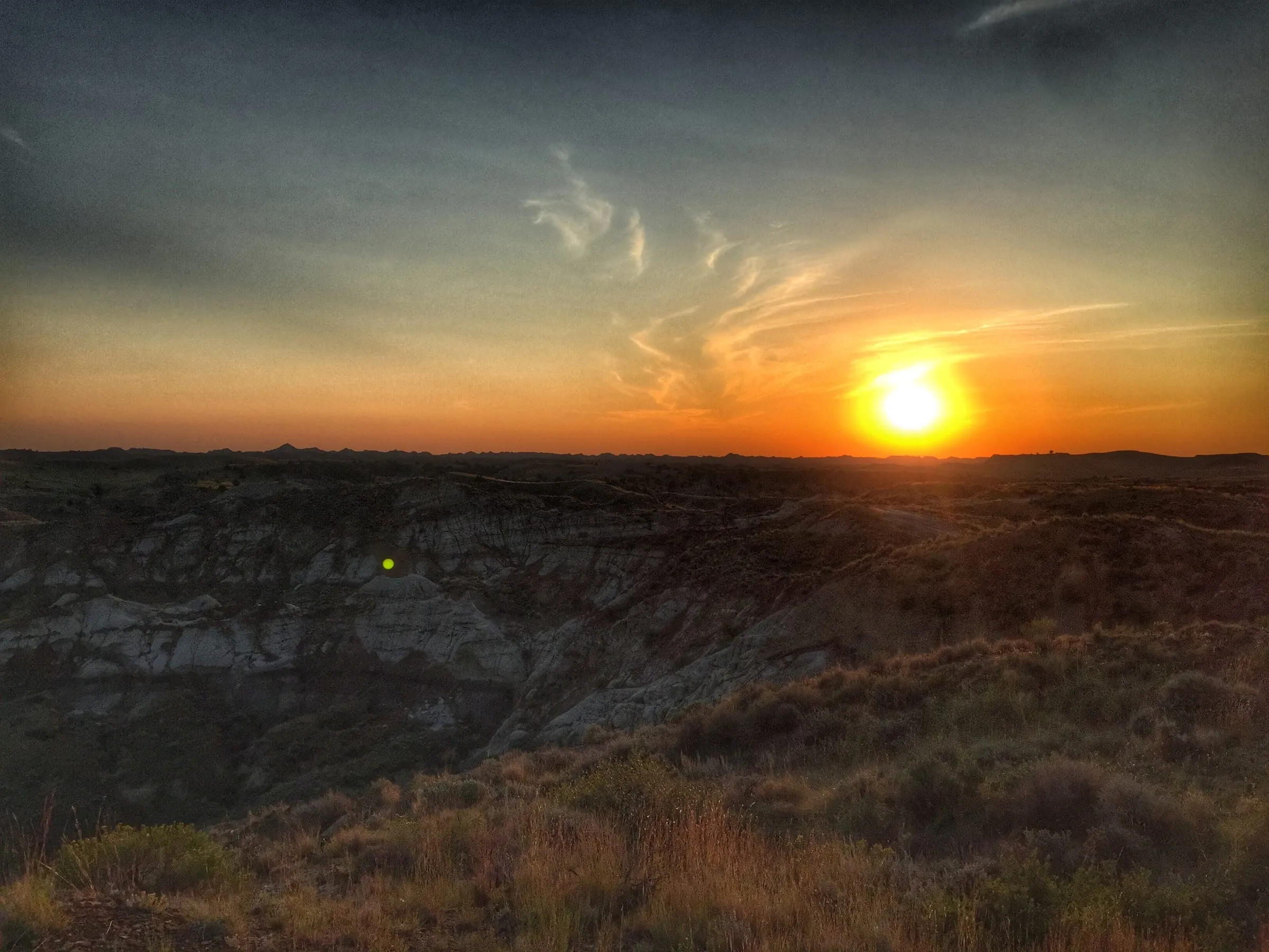
Catch the badlands in the morning light
Stay in Terry tonight and you can be at the Scenic View before the sun gets high.